
Trace a Kerrville Street Address
A useful Kerrville street directory search follows the address rather than guessing from a name. Kerr Central Appraisal District, called Kerr CAD, supplies the current parcel starting point. The County Clerk then supplies the recorded-title layer through AVA Real Time Search. A street-level result may show a current owner, a parcel identifier, and a tax mailing address, but those fields do not establish who is present at the property. Treat each return as a dated record lead.
- Search the Kerr CAD Property Search with the street number and street name. Save the situs address, Property ID or Geographic ID, legal description, owner, tax year, and any mailing distinction.
- Open the Kerr CAD Interactive Map, locate that parcel, and click adjoining polygons rather than assuming street numbers run in a clean sequence.
- Use the legal description and owner as search terms in AVA Real Time Search. Record grantor, grantee, instrument type, recording date, and book, page, or document number.
- For a known person, use the Texas voter route only as confirmation. My Voter Portal requires a name, Kerr County, date of birth, and ZIP code, so it is not a street-wide search.
- For an earlier address listing, consult the Kerr Regional History Center or Kerr Genealogical Society. Their dated directories and telephone books can connect an address to a listed occupant or business for a particular year.
Keep the parcel ID and legal description with every note. Those identifiers often survive when a street name, number, or postal convention changes. Note: The County Clerk announced flood-related counter changes in 2026, so confirm its current visit notice before making a trip.
Kerrville Street Search Fields
The Kerr CAD Property Search offers Owner, Address, ID, and Advanced routes. Its most practical street-directory tip is local and specific: enter Street Name without a prefix, suffix, or unit number. If a full address fails, test the street name by itself. The Advanced screen can then narrow a large result set with parcel, subdivision, or neighborhood information. No fields were visibly marked as required in the captured form.
| CAD field | Input | Street-use note |
|---|---|---|
| Owner Name | Text | Last name first; first or last name alone may work. |
| Street Number | Text or number | Pair with Street Name for a known parcel. |
| Abstract | Searchable list or text | Select from the Abstract List when a legal-area clue is known. |
| MobileHomePark | Searchable list or text | Select from the Mobile Home Park List. |
| Property ID | Text or ID | Use the exact CAD identifier. |
| Property Type | Dropdown | Visible choices were not exposed in the research capture. |
| Agent ID | Text or ID | ARB or agent-related route. |
| Protest Status | Text or select | Exact available options were not captured. |
| Informal Date | Date | Exact date format was not published. |
| Doing Business As | Text | DBA pathway. |
| Street Name | Text | Do not add a prefix, suffix, or unit number. |
| Subdivision | Searchable list or text | Search the subdivision list. |
| Condo | Searchable list or text | Search the condo list. |
| Owner ID | Text or ID | Exact format was not stated. |
| Geographic ID | Text or ID | Use the exact map or CAD identifier. |
| Tax Year | Dropdown | Complete choices were not exposed; the page showed 2026 certified values. |
| Neighborhood | Searchable list or text | Search the neighborhood list. |
| Hearing Date | Date | Exact date format was not published. |
| Board Members | Text or list | Exact choices were not captured. |
| Formal Date | Date | Exact date format was not published. |
| Search | Button | Reset and navigation labels were not captured from the dynamic page. |
CAD identifies appraisal and owner information for Kerr County and its taxing units. Its selected parcel card can be a lead for values, exemptions, taxing entities, improvements, and tax history, although the full live card was not available in the research capture. CAD says legal descriptions and acreage must be verified before legal purposes or documents. The district publishes its office phone, 830-895-5223, and an in-person address at 212 Oak Hollow Drive for that verification route.
Kerrville Street Record Terms
Several address labels can look interchangeable when they are not. The Kerrville street directory works best when the researcher records the label exactly as the custodian displays it, then compares the record date. A tax mailing location may be outside Kerrville, while the situs is the physical parcel being mapped. The deed may use neither one and instead rely on the legal description.
- Parcel
- A unit of land shown by CAD and the map, with an identifier used to connect appraisal data to a physical tract.
- Situs address
- The physical property location used for map and street browsing. It is different from a tax mailing address.
- Plat
- A recorded map of lots, blocks, streets, easements, or subdivision layout that helps relate a street address to a legal description.
- Criss-cross directory
- A historical address-to-listing directory. It may identify a listed resident or business by year, not a current household.
Homestead status is also only a tax indicator. It can be consistent with owner occupancy, yet a trust, family arrangement, second property, or stale status can make that inference wrong. The strongest practice is to write “owner,” “mailing,” or “historical listing” beside each name instead of calling every name a resident.
Kerrville Deed Chains by Address
The Kerr County Clerk’s AVA Real Time Search is the title-record layer for a street search. The Clerk says land records reach from sovereignty to the present, though the web interface does not supply a simple online year cutoff. For a modern transfer, take the current CAD owner and legal description into AVA, search the owner as grantee, then use the seller as the next prior grantee. Read the instrument before calling it a transfer.
AVA’s documented Quick Start has useful local conventions. Regular deed volume strings through volume 930 go in Last Name or Business Name. Later deeds use Book and Page. Deeds of trust use document-number strings such as Dot_Vol_279; electronic volume 001 is not available. Easement searches use volume strings 01 through 23, and Deed Index Books or Deed General Index Books can be searched by document type. A deed of trust is financing evidence, not automatically a sale.
The online route is not the only one. The Kerr County Clerk keeps older books and plats at the counter in the courthouse at 700 Main Street, Room 122. Its published land-copy price is $25 for the first page and $4 for each additional page or part of a page. Laredo is the clerk-identified subscription route. Earlier material also appears in Texas State Library and Archives Commission deed microfilm, including direct and reverse indexes, for researchers who need the pre-digital layer.
Kerrville Address Record Coverage
Each address-keyed source answers a narrower question than a street directory alone. Use the current parcel card for the appraisal snapshot, the map for geometry, AVA for a recorded-title chain, and dated city sources for change over time. When an online interface does not expose a complete result, the defined fallback is the responsible counter, a written public-information request for an existing record, or the relevant archive.
| Address record | What it can show | Kerrville access route |
|---|---|---|
| CAD parcel card | Owner, situs, mailing, legal description, values, exemptions, tax year | Free CAD search, CAD office verification |
| Interactive parcel map | Polygons, adjoining parcels, street context, enabled layers | Free Kerr CAD map or City GIS hub |
| Deed and official-public-record index | Grantor, grantee, instrument, recording date, book/page or document number | AVA, Clerk counter, old books, or TSLAC microfilm |
| Plats and easements | Lot, block, subdivision, access, and legal parcel shape | AVA, County Clerk counter, CAD, or map |
| Building permit | Project address, legal description, owner, contractor, scope, cost, and dates | MyGovernmentOnline or city public-records route |
| Code record | Complaint, inspection, notice, citation, and closure stages when released | City report portal or request for an existing record |
| Historical directory | Address-to-listed occupant, business, phone, spouse, or occupation by year | History Center, KGS, TSLAC, or UNT collection |
Texas voter information has a separate rule. My Voter Portal confirms a known person with name, county, date of birth, and ZIP. A Chapter 18 list follows a request and affidavit process, and protected addresses are omitted. It is not a complete block or household census.
Kerrville Permits by Address
Address-keyed municipal work can add a dated building clue to a Kerrville street directory search. The City’s building-permit information describes MyGovernmentOnline, or MGO, as the portal for the permit process. An MGO permit can include address, legal description, work, cost, square footage, contractor, and owner. It can date construction or an alteration, but it does not prove the presence of any particular person.
See the City building-permit access page before submitting a permit inquiry or account request.
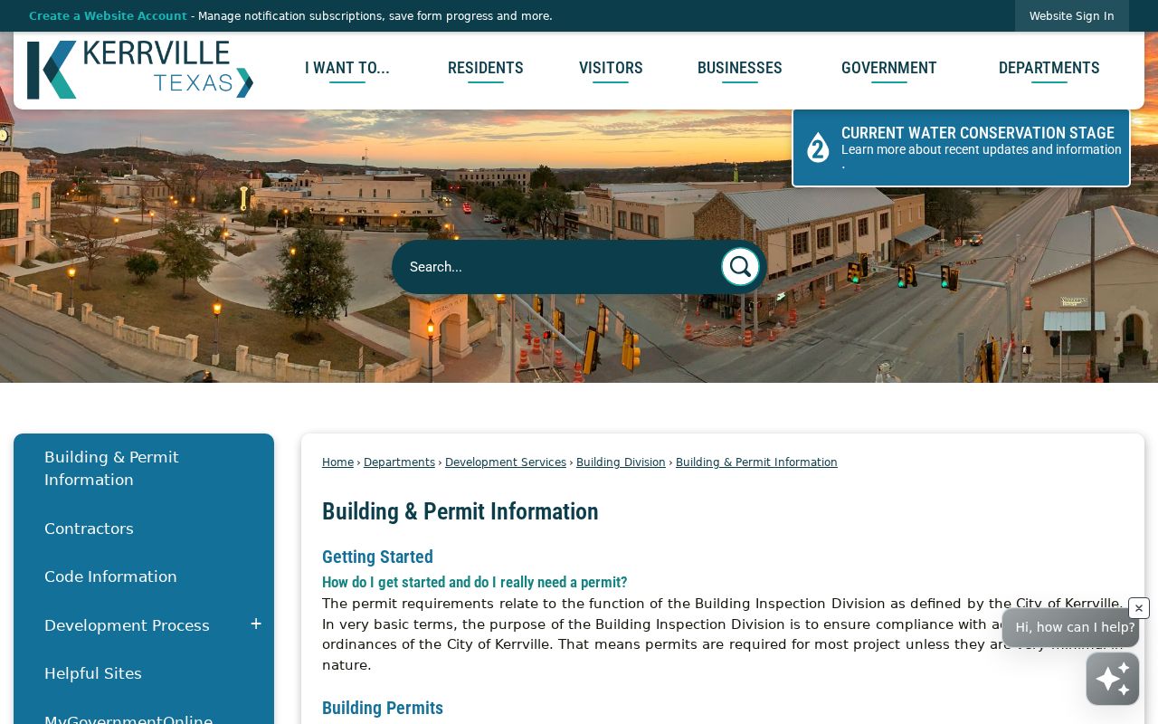
The permit page is a starting point for a defined address and project date, not a directory of people.
The City also routes code concerns through its MyGovernmentOnline portal. The published process can move from complaint to inspection, notification, follow-up, citation or court, and closure. A complaint is not a finding. The complete online case-search fields were not documented, so the City’s report route or a written Public Information Act request for a specified existing record is the fallback.
Use the MyGovernmentOnline portal for the address-centered permit and code workflow shown here.
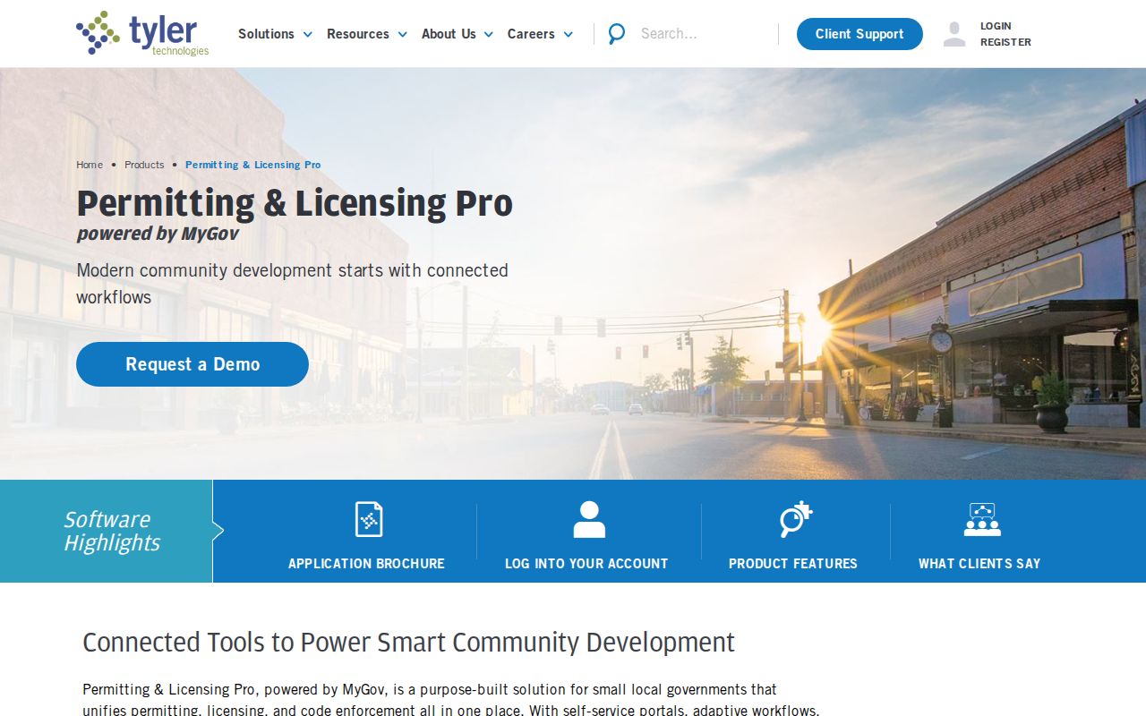
This portal view supports a record request tied to a place and event rather than an unsupported claim about occupants.
The City’s Report an Issue page also points to MGO for code-reporting and address concerns.
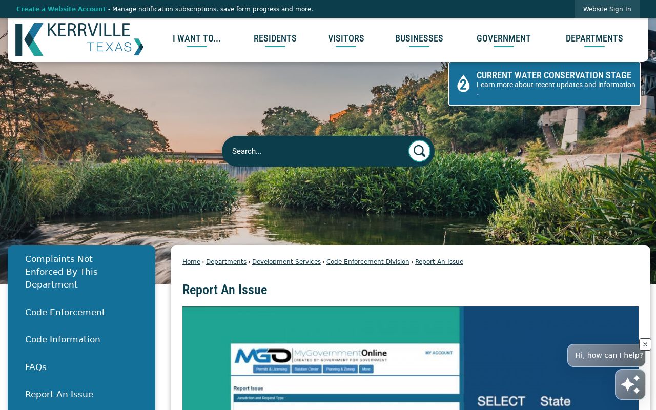
Use that reporting route carefully, since a report begins a process and is not proof that a condition occurred.
Kerrville Street Names Over Time
Old names are a major source of street-directory misses in Kerrville. Local material documents Mountain Street becoming Earl Garrett, Tchapetoulas becoming Sidney Baker, former Lytle becoming Lemos, former Garrett becoming Lytle, and a later Houston-to-Rodriguez change. Search both names before treating an archive or directory result as absent. The old form may appear in a map, telephone book, city record, or deed description.
The documented 241 Earl Garrett continuity example shows why chronology matters. Sanborn maps use Mountain Street for the later location in 1898, 1904, 1910, and 1916, while later maps use Earl Garrett. Telephone listings place Wheelus at 233 in 1928 and 241 in 1930 through 1935. A 1936-37 directory transcription adds a nearby 239 Earl Garrett entry. These records establish a dated address trail, not a present-day identity.
The UNT 1910 Kerrville Sanborn record and the County Historical Commission’s building research provide map and document context. A Sanborn sheet shows a building footprint, use, or street context. It does not list every person connected with the structure.
Kerrville Street Plat Clues
A plat, easement, abstract, survey, or lot-and-block description can keep a Kerrville street search on track when a numbered address changes. The legal description is the more stable bridge between CAD, AVA, and old records. For a subdivision parcel, compare the lot and block with the recorded plat. For an abstract, survey, or metes-and-bounds parcel, preserve the full legal phrase and compare nearby parcels rather than shortening it into a modern street label.
The early-record route is specific to Kerr County. Texas State Library and Archives Commission microfilm includes deeds from 1856 to 1905 and tax rolls from 1856 to 1910, with direct and reverse indexes for deed work. The guide notes that tax-sale material in deed volume L was not filmed. A missing image can therefore mark a preservation boundary, not a missing transaction. Use the County Clerk counter, old books, or the archival reel route when the web index ends.
Plats can also explain an irregular street edge, shared access, or a gap between parcel polygons. They do not identify occupants. Record the instrument type, legal description, book or page, source date, and any map sheet used for the comparison.
Kerrville Street Directory History
Historical criss-cross directories reverse the usual name-first arrangement, making them valuable when only an older Kerrville street address is known. The Kerr Regional History Center holds Kerrville city directories, local newspapers, Tivy yearbooks, oral history, and a microfilm reader. The Kerrville Genealogical Society has a separate research collection with dated directory volumes, land material, obituaries, and other finding aids. Their directories are intermittent, so one missing year cannot establish a gap in residence.
For an address from the mid twentieth century, compare street number, spelling, listed resident or business, spouse notation, and occupation only within that directory year. Then test the address against a deed, map, permit, or census-era source. Historical directory collections are covered in greater detail in the Kerrville city directories, where their year runs and repository access are the main focus.
For in-person work, the History Center publishes Tuesday through Thursday hours and reference phone information. KGS publishes Tuesday, Thursday, and Saturday hours. Call before relying on a shelf location, copying rule, or uncataloged item.
Kerrville Street Privacy Limits
A Kerrville street directory cannot reveal everyone connected with an address. Property records center on parcels and owners. A voter file has its own statutory access rules and omits protected addresses. Driver-license and motor-vehicle residence data are restricted, while utility and delivery records are not public residential rosters. Court, vital, juvenile, adoption, sealed, and expunged records can carry further limits.
Texas Address Confidentiality Program participants and other protected voters may use a substitute address or have a residence omitted. A missing result can reflect a protection, a data lag, a spelling change, or an unavailable record. It is not proof that someone moved or that an address has no current connection.
Lawful personal use. Kerrville address records are for careful, personal research such as property history, family research, or confirming an official filing. Do not use them to stalk, harass, intimidate, or harm anyone.