
Sources for Kerrville Previous Residents
One address needs different sources for different eras. A current parcel record supplies the legal description that survives a street-number change. A deed chain identifies transfers, while old directories and phone books can place a listed household or business at an address between transfers. Census schedules add relationships and ages. Maps help test whether the physical building and street name align. Probate, obituary, and newspaper material can explain the last point in a trail, but none of these records proves uninterrupted occupancy.
| Source | Years it covers | Where held | What it shows |
|---|---|---|---|
| Kerr County deed records | County says sovereignty to present; TSLAC microfilm 1856-1905 | AVA, Clerk counter, and TSLAC | Grantors, grantees, transfer references, and legal descriptions |
| Local directories and telephone books | Known examples 1928, 1930-35, 1936-37, 1956-87; 1989 catalog lead | History Center, KGS, and archival collections | Listed household or business, street address, phone, and related notation |
| Federal census | Released decennial schedules through 1950 | National Archives and library research services | Household members, relationship, age, birthplace, and occupation |
| Sanborn and local maps | Known Kerrville map dates include 1898-1950 | UNT, TSLAC, and local report sources | Street names, building footprint, use, materials, and map context |
| Probate, tax, and obituary sources | Probate reels 1857-1910; KGS obituaries 1985-present | Clerk, TSLAC, KGS, and library collections | Estate, death, heir, or time-period leads |
Begin with a modern parcel for a recent address. For an early address, start with the historic street name, lot or block, or an old map. The Kerr County Clerk's statement that records reach sovereignty to present describes the collection, not one simple web cutoff. Old deed books and plats remain a counter and microfilm task when an online result is incomplete.
Kerrville Previous Residents Parcel Start
Use the Kerr CAD Property Search to establish the current parcel identity. Its landing page supports name, address, and property-ID research. The Advanced view has owner name, street number, street name, Property ID, Geographic ID, subdivision, tax year, neighborhood, and other controls. For a street-name search, CAD advises leaving off a prefix, suffix, and unit number. A current card is a research lead, so transcribe the situs address, legal description, lot or block, subdivision or abstract, Geographic ID, and tax year before moving backward.
The situs address is the parcel's physical location. An owner mailing address is where a tax notice goes and can be outside Kerrville. The two should not be treated as the same fact. CAD also says its legal description and acreage information is for appraisal-district use and should be verified before legal documents or legal purposes. That caution is especially important when previous residents research crosses an older address change.
For a visual check, locate the parcel in the Kerr CAD Interactive Map or the City of Kerrville GIS hub, then preserve the parcel identifier. The map helps connect a recorded legal description to the correct land shape. It does not identify every person who occupied the property.
Trace Kerrville Previous Residents Deeds
A deed chain follows title transfers backward, not every household. Start with the current owner's purchase as a grantee, then use the seller named in that instrument as the next earlier grantee. Keep the legal description with each step. Lot and block, subdivision, abstract, survey, or metes-and-bounds language can remain stable while a street number changes. A deed of trust is financing evidence, not automatically a sale, and releases or assignments need their own reading.
- Copy the current parcel's owner, situs address, legal description, subdivision or abstract, and Geographic ID from Kerr CAD.
- Search the current owner in the Kerr County AVA official public-records search as a grantee or buyer, then narrow to the likely deed or transfer period.
- Record the grantor, grantee, document type, recording date, book and page or document number, and legal-description reference from the index hit.
- Use the named seller or grantor as a prior grantee, then repeat the search one transfer at a time. Check estate, trust, business, and spelling variants when the chain changes form.
- Move to the Clerk's older books, direct and reverse indexes, or TSLAC reels when a web result ends. Preserve the exact book, page, or reel reference for the next search.
- Grantor and grantee
- The grantor conveys an interest in an instrument; the grantee receives it. Each role can point to the next earlier deed.
- Chain of title
- The linked sequence of recorded transfers for the same parcel or legal description. It is a title trail, not a list of everyone who lived there.
- Legal description
- The lot, block, subdivision, survey, abstract, or metes-and-bounds description used to identify land in a recorded document. It usually survives address changes better than a street number.
Kerrville Previous Residents AVA Tips
AVA is the online index route, while the Kerr County Clerk remains the custodian for older books and copy questions. The Clerk describes regular deed searches through volume 930 using the Last Name or Business Name field with strings such as vol a, vol 027, or vol 930. For deeds after volume 930, use Book and Page. Deed-of-trust searches use document-number strings such as Dot_Vol_279; volume 001 is not in electronic format. The dynamic portal did not expose a complete public field list, so record the exact search terms that produced a hit.
The AVA official-records search is the source shown here for the Kerrville previous residents deed trail.
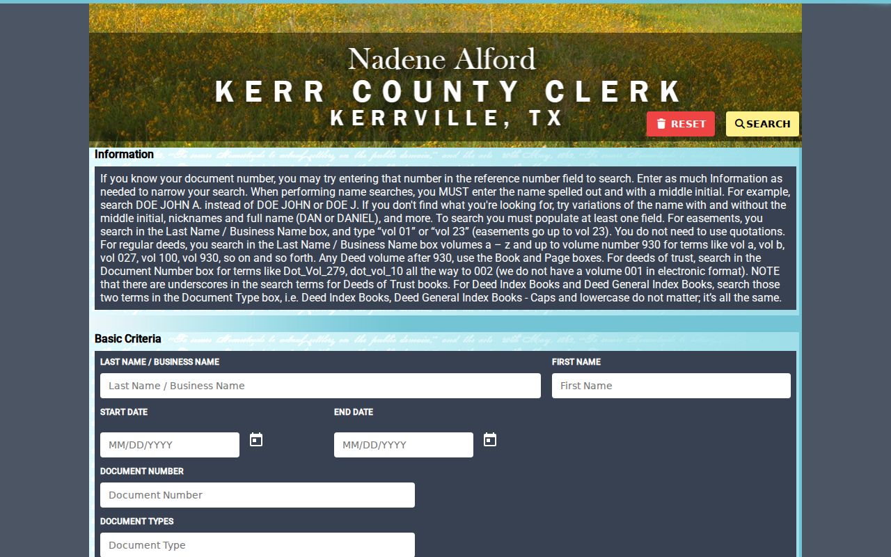
The portal is a starting index, while the recording reference, legal description, and underlying image or clerk copy are the evidence needed to keep the chain accurate.
Counter access matters. The County Clerk is at 700 Main Street, Room 122, although the clerk page should be checked before travel because of 2026 flood and repair relocation notices. The office lists 830-792-2255 for clerk, vital, and marriage questions. Land-copy charges were published as $25 for the first page and $4 for each additional page or part of a page, with the current clerk fee schedule controlling.
Kerrville Previous Residents Map Changes
Street history can create a false break in a house record. The local Historical Commission building report follows the later 241 Earl Garrett location through Sanborn maps. In 1898, 1904, 1910, and 1916 it appears on Mountain Street. By 1924, the map uses Earl Garrett. Telephone listings place Wheelus Company at 233 Earl Garrett in 1928 and at 241 from 1930 through 1935. A 1936-37 city-directory transcription then links the address area with Horace Aubey, Gertrude Aubey, Kerrville Seafood Market, and Wheelus Company.
The UNT 1910 Kerrville Sanborn map record supplies the dated map context shown in this image.
A Sanborn sheet can confirm a building footprint, material, use, stories, and street label. It cannot name every private occupant, so pair it with a directory, telephone book, or deed instead of treating it as a household record.
The Texas State Library map catalog also lists Kerrville maps from approximately 1850 through 1991. Compare the map date to the directory cover year and the deed recording date. A match in only one source is a lead, not a completed identity claim.
Kerrville Past Residents Between Censuses
Ownership is only one layer. To learn who lived here before, use the closest available directory or telephone book between census decades. Kerrville sources include a 1936-37 directory example, selected C. B. Page and Polk volumes from 1956 through 1987, and telephone-book examples from 1928 and 1930 through 1935. The local run is intermittent. A household disappearing from one volume may have moved, been unlisted, used another spelling, or fallen inside a collection gap.
- Choose the directory or telephone year closest to the address period and copy the full name, initials, spouse notation, address, home or business marker, and page number.
- Check a neighboring directory year or phone book. Search both the alphabetical pages and a street or reverse section when the volume has one.
- Pair the result with the closest federal census. The 1900 through 1950 released schedules can separate similar names through relationships, age, birthplace, and occupation.
- Allow for timing. A directory may have been gathered before its cover year, while the census reflects its own enumeration date.
- Use a later obituary, probate file, cemetery lead, or deed transfer to test a move or death endpoint.
The Kerrville city directories collection route holds the shelf and entry-reading detail. For microfilm and newspaper follow-up, the Kerrville library services page describes the public microfilm reader, computers, interlibrary loan, copying, and reference help.
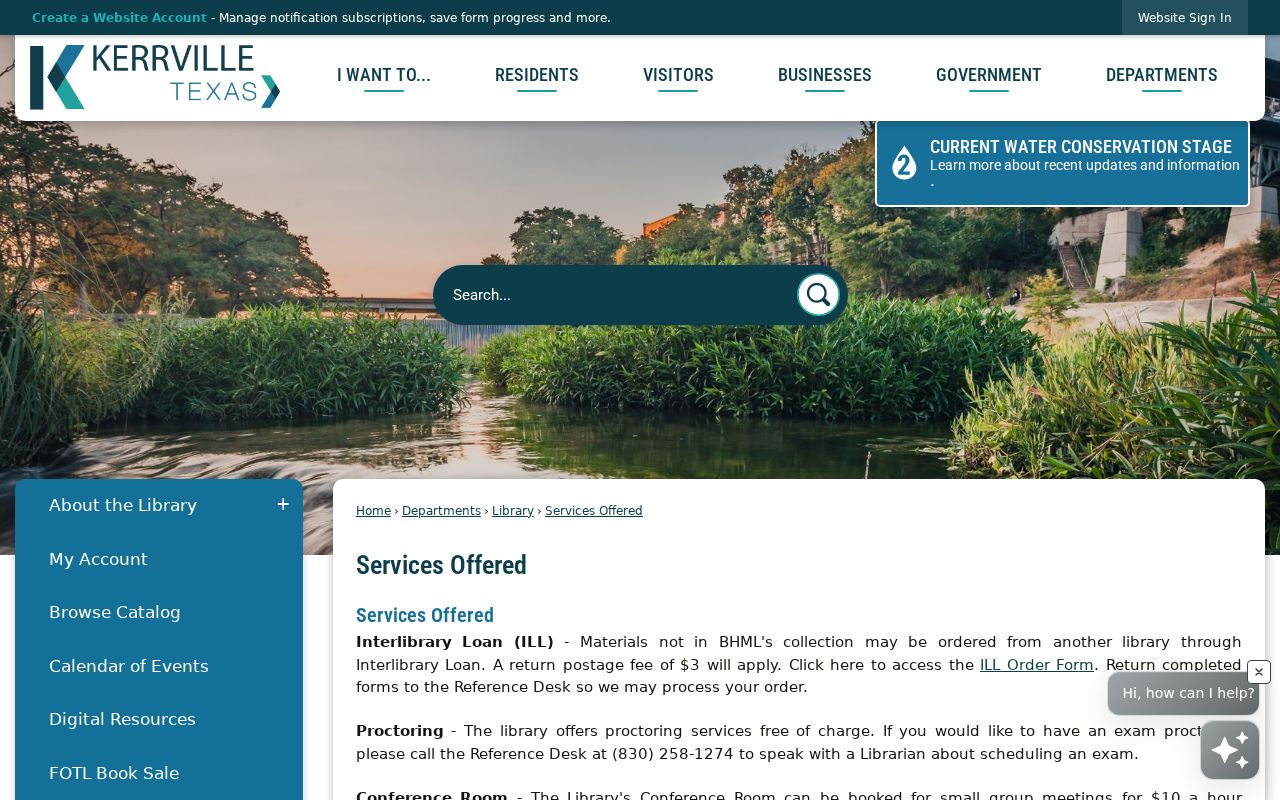
Those library channels are useful when a directory gives only an address and a newspaper, obituary, or microfilmed item is needed to establish the surrounding date.
Kerrville Previous Residents Endpoints
Probate and obituary material can help explain why a name leaves a property trail. The County Clerk handles probate and guardianship records. Its request guidance says to allow 72 hours for review or processing, and it calls for a $5 search fee when the case number is unknown. TSLAC identifies probate minutes on Kerr County microfilm from 1856 to 1910. KGS reports land, death, divorce, and probate material from 1856, a birth index for 1877-1935, and 42 obituary volumes from 1985 to the present.
The Texas State Library Kerr County microfilm guide details the historical deed, court, probate, marriage, and tax rolls represented in this image.
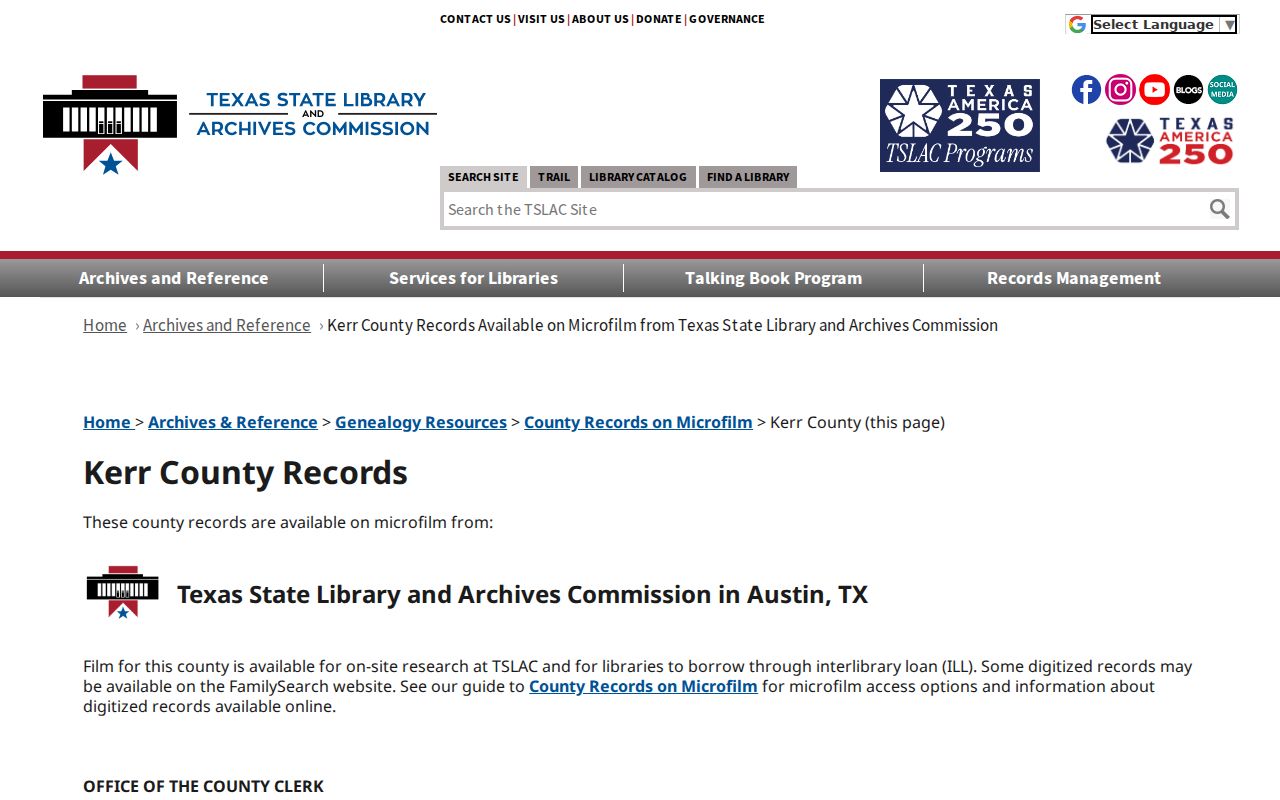
Use the reel and record range as a roadmap for Austin or interlibrary-loan research. The guide is not a searchable name index, and it notes that deed volume L tax-sale material was not filmed.
Kerrville Previous Residents Gaps
A negative search is often a records problem, not a final answer. TSLAC notes that deed volume L tax-sale material was not filmed. The KGS directory inventory does not establish a complete annual run, and the 1987 publisher is unspecified. Modern portals can expose current data while older books remain counter-only. The County Clerk offers AVA online and identifies Laredo as subscription-only, so one access route does not stand in for every recorded book or image.
When an online route ends, request an existing record with a narrow description: date range, street address and legal description, known book or page, record type, and whether inspection or a copy is preferred. Under the Texas Public Information Act, a custodian may provide existing nonexempt records but does not have to create a custom history or release protected information. Confirm every conclusion with the office or repository that holds the original record.
Note: Keep the address, legal description, date, source title, page or reel, and search spelling together for every step in the chain.