
Find Kerrville Neighbors by Parcel
For Kerrville neighbors, the first question is geographic: which parcels share a boundary with the subject parcel? Kerr CAD and its map provide that answer more reliably than a street-number sequence. Then each record layer can be read for its own purpose. A CAD card can show a current owner and tax information. A County Clerk instrument can document title or an easement. A city permit can date a project. None of them supplies a complete roster of people at a block.
| Block source | What it shows around a block | Access and limit |
|---|---|---|
| Kerr CAD Property Search | Parcel owner, situs, legal description, Property ID, Geographic ID, exemptions, tax-year context | Free search; mailing location may differ from situs. |
| Kerr CAD Interactive Map | Parcel polygons, roads, adjacent parcels, and enabled map layers | Free dynamic map; verify every selected parcel in CAD. |
| County Clerk AVA | Deeds, plats, easements, releases, parties, and legal descriptions | Online index, counter records, and older books vary by item. |
| City permit or code route | Project, review, or complaint process tied to an address | A project or complaint is not an occupancy finding. |
| Historical directories and maps | Listed address occupants or businesses, and dated block context | Intermittent historical evidence, not a current roster. |
| HOA certificates | Association name and management or contact filing | Community clue only; no membership directory assumed. |
For Kerrville neighbors, preserve the source date beside each name, parcel, and map view. This simple step keeps a current owner, an older directory listing, and a tax mailing address from being mistaken for the same fact.
Map a Kerrville Block Carefully
The adjacent-parcel method begins at the subject situs address in the Kerr CAD Interactive Map. The map is for parcel geometry and jurisdictional context. Its live layer list and toolbar controls can change, so use only layers visible at the time of the search. The City’s GIS hub is a second geography source when a city-limit or planning layer is enabled, but it does not replace the CAD ownership record.
- Find the subject parcel and copy its Property ID, Geographic ID, legal description, situs address, and tax year.
- Click every polygon that touches it, including rear and corner parcels. Check for roads, access strips, common areas, private drives, and waterways that break a supposed boundary.
- Open each identifier in Kerr CAD Property Search. Record owner, mailing location, situs, subdivision or abstract, and tax-year context as separate fields.
- Use the legal description and names in AVA Real Time Search when a plat, easement, or title question remains. Read the instrument type before treating it as a transfer.
- Add a permit, directory, voter record, or association certificate only when it answers a separate, documented question. Keep historic listings tied to their year.
Corner lots and multi-parcel tracts are common reasons a nearby street number is not a contiguous parcel. For a full named-street ownership trail, the Kerrville street directory follows the longer address-to-deed sequence.
Read Kerrville Parcel Results
Kerr CAD supports owner, address, property-ID, and Advanced searching. When working with Kerrville neighbors, use the exact Property ID or Geographic ID from the map whenever possible. Its Street Name guidance says to omit prefixes, suffixes, and unit numbers. A single street name can help inspect a corridor, but the adjacent-polygon check is what defines a block relationship.
The CAD result is appraisal evidence. A situs address tells where the parcel sits. A tax mailing address tells where a notice goes, and may point to another city, a trust, an entity, or a management contact. A homestead exemption is a tax-status indicator, not conclusive proof of presence. Kerr CAD asks readers to verify legal descriptions and acreage before legal use, so retain the map identifier and confirm the description with the district or Clerk.
CAD search tip. Start with the map’s parcel identifier, then use the Street Name field without a prefix, suffix, or unit number when a broader street check is needed.
Check Kerrville Shared Access Records
Neighboring parcels may have an easement, a shared drive, a plat boundary, or an older title description that explains a confusing map edge. Kerr County Clerk AVA can be searched by party, document type, book and page, or documented local volume conventions. Regular deeds through volume 930 use a volume string in Last Name or Business Name. Later deeds use Book and Page. Deeds of trust have separate document-number patterns and are financing records, not automatically sales.
The Clerk says recorded land records extend from sovereignty to the present. The online system is only one channel: old books and plats remain available at the courthouse counter, and Texas State Library and Archives Commission microfilm supports earlier direct and reverse deed-index work. The Clerk’s published counter address is 700 Main Street, Room 122, Kerrville. Flood-related office changes were reported in 2026, so check the Clerk page before travel.
For a written record request, identify an existing instrument, plat, address, legal description, or date range. The Texas Public Information Act does not require the City or County to create a custom list or perform a new research match. Note: A plat or easement can explain land access without identifying a current resident.
Kerrville Community Contact Leads
Community organizations can clarify neighborhood names and governance, but they are not sources for a private roster. The official Texas HOA management-certificate search includes Kerr County and Kerrville filters. Texas warns that entries depend on submitted information and may be incomplete or unreliable. Compare every association name with CAD subdivision information, GIS, and recorded plats.
| Community route | What it can help confirm | Access boundary |
|---|---|---|
| Texas HOA certificate search | Names such as Heights of Kerrville HOA, Oak Hollow Estates HOA, Kerr Dominion POA, or Comanche Trace Ranch Community Association | Association or management clue; verify the current certificate and parcel relationship. |
| Northwest Hills HOA | Public community, board-contact, and event information from its public site | Resident documents require member access and must remain private. |
| Kerrville 2050 planning context | Neighborhood character and the City’s discussion of a possible neighborhood or HOA council | Planning context, not evidence of membership or address occupancy. |
The Northwest Hills HOA public site is a separate public contact route. Use a posted community contact for a community question, not to infer that a person belongs to that community. Other state-search leads include Ridgeland Residential Community, Aqua Vista Estates Land Owner’s Association, Kerrville-Bluebell Estates HOA, Windridge Residential Community, Fender Oak HOA, and Paso Creek Ranch.
Compare Kerrville Neighbor Records
Official records and commercial neighbor-search categories serve different purposes. The official route identifies the custodian, record date, and scope, and it leaves limits visible. A commercial category may combine old or unverified data without showing the underlying field source. For Kerrville neighbors, choose the official source that matches the question, then retain the parcel or document identifier for verification.
| Official record route | Commercial neighbor-search category | Practical difference |
|---|---|---|
| CAD, GIS, Clerk, City, Elections, or archive source | Private compiled listing | Official sources identify a custodian and record type; private compilations can blur dates and source boundaries. |
| Parcel, deed, permit, or map record | Single merged person profile | Records answer a defined property or event question; a merged profile can overstate identity or current connection. |
| Association certificate or public community contact | Implied neighborhood roster | Certificate and contact information show governance clues, not all members or nearby households. |
When a page, portal, or record does not expose a needed field, use the custodian’s counter or defined written-request procedure. Do not fill a gap by combining unrelated names, phone information, or historic entries into a claim about a living person.
Place Kerrville Neighbors in Time
Maps and directories add a time layer to block research. The Kerrville record trail includes changing street names: Mountain became Earl Garrett, Tchapetoulas became Sidney Baker, and other changes include Lytle and Lemos. Search old and new forms before deciding that a dated map or directory has no match. Postal delivery geography and city limits can also differ, especially around the broad 78028 service area and unincorporated Kerr County parcels.
The 241 Earl Garrett example shows why a historic footprint should be read by date. Sanborn maps use Mountain Street at that later location in 1898 through 1916, then later sources use Earl Garrett. Telephone and directory references add dated address evidence. A map can show a building, street, use, or block form. It does not establish all people tied to the building.
The Kerr Regional History Center, Kerr Genealogical Society, and UNT map collections are the practical historical access channels. The History Center offers directories, newspapers, yearbooks, oral history, and microfilm. KGS holdings are finding aids that should be checked with the repository before treating an absence as complete.
Use Kerrville Block Records Sparingly
City permit data can show an address, legal description, project details, owner or contractor, cost, and review timing. Code records can move through complaint, inspection, notice, follow-up, citation or court, and closure. They are dated evidence about a project or process. The City’s MyGovernmentOnline route and a written request for an existing record are the documented paths when a dynamic interface does not offer a complete public case search.
The official Kerr County Elections page provides election links, precinct maps, rosters, and voter-registration information.
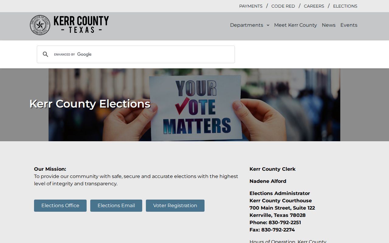
Election information can help verify a known voter through the proper route, but it is not a block-by-block presence list. My Voter Portal requires the person’s name, county, date of birth, and ZIP, while protected voter addresses are omitted.
The Kerrville Area Chamber directory is another community-facing source for voluntary member businesses and their published categories or addresses.
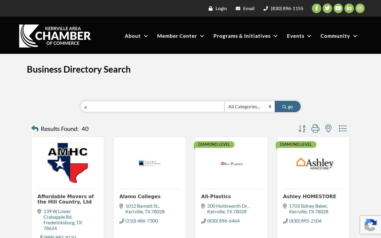
A Chamber absence is not proof that a business or organization is absent from Kerrville, and a member listing is not a property-title or resident record.
Respect Kerrville Neighbor Privacy
A Kerrville neighbors search has firm boundaries. Parcel ownership does not establish occupants. Tax mailing information can differ from a situs. Voter information follows Texas access and confidentiality rules, and protected addresses may be suppressed. Driver-license data, utility customer information, delivery records, sensitive court material, and many vital records are not public neighborhood sources.
Texas Address Confidentiality Program participants and certain protected voters can use substitute or omitted residence information. A missing name or address can reflect lawful protection, a spelling difference, a timing gap, or an unavailable source. It should never be treated as evidence that someone is absent from a place.
Lawful personal use. Use Kerrville block records for careful property history, community context, civic transparency, or a defined official-record question. Do not use them to watch, stalk, harass, intimidate, or harm anyone.